- 7:00 h
- 10.67 km
- 1,170 m
- 1,170 m
- 1,079 m
- 2,249 m
- 1,170 m
- Start: Gasthaus Suld, Suldtal
- Destination: Gasthaus Suld, Suldtal
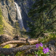
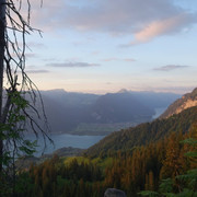
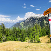
Experienced mountain hikers will be in their element on this hike. The route begins with a highlight: the Pochtenfall waterfall, after which the trail climbs steeply up to the Renggli Pass. You can catch your breath in the magnificent flower-filled meadows once you reach the Renggli-Alp. Take the opportunity to recharge your batteries, as the ascent to the Morgenberghorn is a strenuous one, but the effort is rewarded by the breathtaking panorama at the top: The panorama extends from the impressive 4,000-metre peaks of the Bernese Alps and across the flat Central Plateau to the Jura. The deep-blue waters of Lake Thun glisten far below in the valley.
Such a compelling view is hard to turn away from, but the descent demands total concentration, the path to Brunni is steep and includes two chained paths. The trail then leads back to the restaurant Gasthaus Suld via Brunni and the back of the Leimerwald forest.
Looking for more hiking choices?
You can find details of hiking trails to inspire you in the Bernese Oberland here.
Good to know
Best to visit
Directions
Equipment
- Wear sturdy hiking shoes with a good grip
- Use trekking poles for demanding mountain tours
- Wear clothing suitable for the weather
- Don't forget rain gear
- Take a backpack with a picnic and water
- Protect yourself with sunglasses, hat and sun cream
- A small first aid kit for injuries and blisters is recommended
- Take your smartphone with you in case of emergencies
- Pack as little as possible and as much as necessary.
- More tips can be found at here
Directions & Parking facilities
Additional information
Scheidgasse 8
3703 Aeschi
Phone: +41 33 654 14 24
info@aeschi-tourismus.ch
www.aeschi-tourismus.ch
Interlaken Tourism
Marktgasse 1
3800 Interlaken
Phone: +41 33 826 53 00
info@interlakentourism.ch
www.interlaken.ch/hiking
Author´s Tip / Recommendation of the author
Safety guidelines
The tour corresponds to difficulty level T3 on the SAC scale of demanding mountain hikes.
Nearby


